Mt. Tenglawan
 |
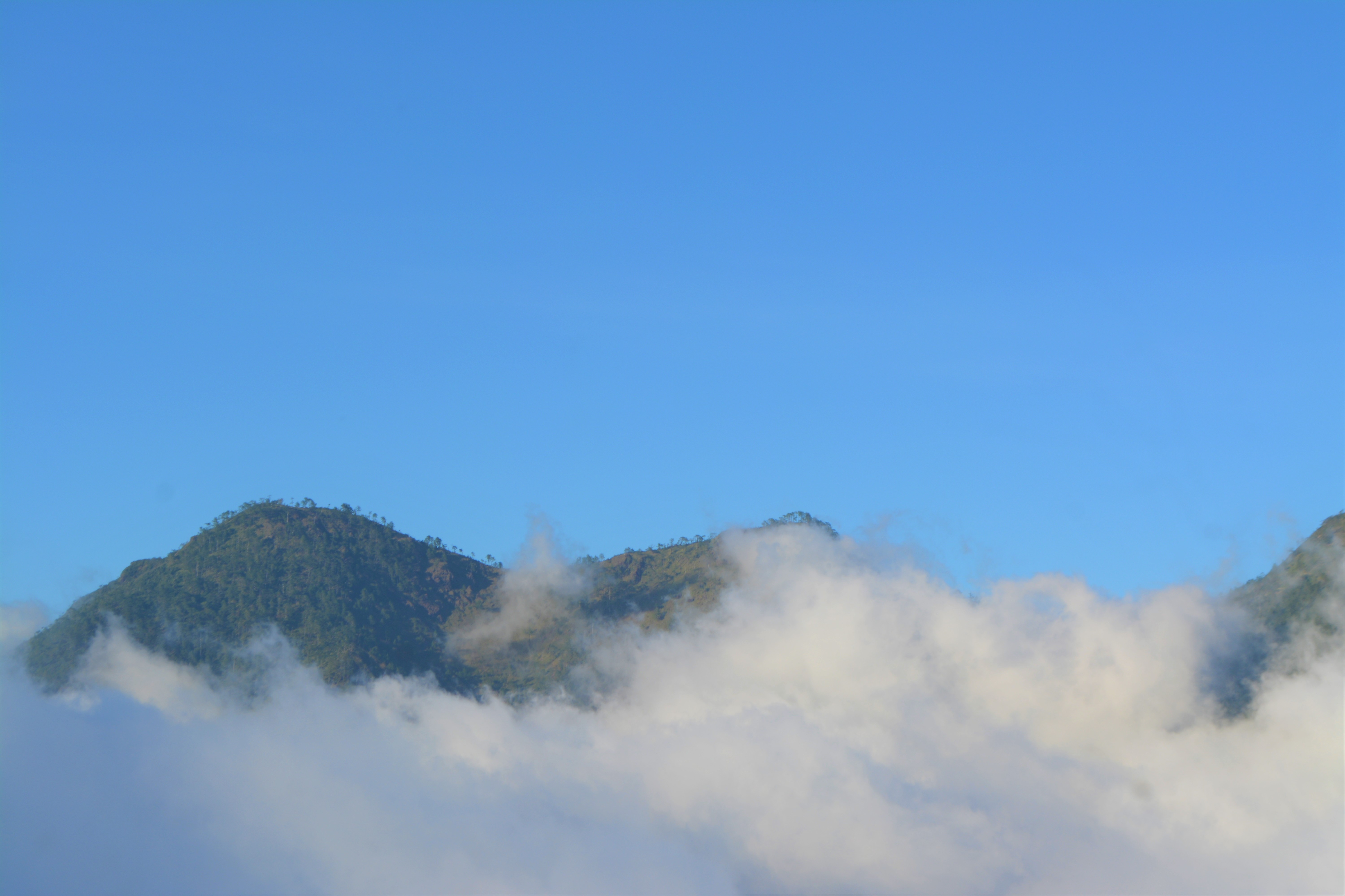
| Only me and the tour guide watching the breaking of the dawn. |
Tenglawan came from the root word
“Tanglaw” and as per the tour guide, it means light or illumination. The
mountain is one of the first visible mountain range to be hit by the rising sun
and people usually hike the mountains early in the morning or camping during
the night to meet the beautiful tanglaw or the sun.
How to go there from
Baguio City using public transport.
Those having private cars have
Google as their friend all throughout their trip.
There are 3 ways to travel from
Baguio which pass by the bus stations for Bakun in La Trinidad Valley. The
jeepneys are stationed at Rizal Park, below the Baguio City Hall and above the
rose garden; the other station is along Magsaysay Street near the Center Mall
which would only costs around PhP 10; and the third option is by riding a taxi
which would cost around PhP 150. Just inform the driver that you are going to Bakun to drop you off the bus station.
There are 2 non aircon buses from
La Trinidad to Bakun. One is in KM 4 Caltex that goes directly to Barangay Poblacion and the other station is in KM 5 Petron that goes to Barangay Sinacbat. If you are planning to take the Bakun Trio which requires
up to 5 days itinerary, take the KM 4 as a start. I chose KM 5 since the plan was
only for Sinacbat-Mt. Tenglawan-Poblacion itinerary. As a tip, it is cold even
in the bus so bring your jacket with you.
The buses usually start between 6
to 7 AM but make sure to be in La Trinidad before 6 AM to make sure that you
will have a sit reservation rather than a standing position. The trip from
Baguio City/ La Trinidad to Bakun would take you between 5 to 7 hours. Bus fare
is PhP 185 per head. Consider 2 days also as travel periods to and from Bakun
on your itinerary.
Tourism Contact Information
Before starting the journey, you must
contact the following: 1. Arthur Tolito, the Municipal Tourism Officer of
Bakun, at 09212113687 or 09053172616 or 2. Peter Diclas, the President of Bakun
Trio Tour Guides and Porter’s Association, at 0926210448 or 09062847896 or 3.
Mr. Jerome Acbaya-an, Barangay Kagawad of Sinacbat, at 09081512808.
Hiking the mountains are categorized
at difficult level so necessary information must be considered first.
Where to Stay
The Barangay Hall of Sinacbat and
the old Municipal Hall in Poblacion were designated as the tourist
accommodations. Rents are less than PhP 200 including the pillows and blankets.
You can cook there if you brought with your utensils or ask the in-charge to
cook for you but with a separate fee.
What to Bring
Minimizing the things to carry
would be a great idea. People who prefer to camp near the summit would be an
option but carrying heavy bags of camping utensils and foods would be a drag for
some. If camping is preferred, then the number 1 rule is to make sure not to
cause forest fire as it happened previously. I did not bring camping tools
since I plan to start the hike at around 3 AM in the morning, so bring a
flashlight with you.
Basic medical/first aid kit is
necessary as accidents like simple slide along the route is expected.
Water is the most essential thing
to bring, there are water refilling areas, which are flowing from the
mountains. The sweet flowing water can be classified as an alkaline water but if your stomach is too sensitive for mountain water, then carry 2 litters.
A good hiking shoes will avoid
accidents as it is slippery during rainy days and still slippery during sunny
days due to the pine needles covering the small moving rocks. Long and
comfortable pants will prevent scratches in case you slide down and to avoid
the edge of long grass leaving a cut on your skin. Take along the road a stick
to hold on to. Also bring extra shirt and handkerchief since it's hot.
Fully charged cameras to record your memories.
Drones are not advisable as it is very windy at the summit.
Registration and Fees
Don’t forget to log in your name
at the barangay hall upon registration and pay all necessary fees including
rental fees for accommodation.
1. Environmental Fee – PhP 100
2. Tour Guide Fee – Mt. Tenglawan (PhP 1,000) Mt. Kabunian (PhP
800) and Mt. Lobo (PhP 600)
It’s on your option to pay
additional tip to your tour guide after the trip.
Overnight tour guide fees would
be more expensive and there are a lot of other packages to choose from including
visiting a lot of waterfalls. I skipped the waterfalls since it would be
greater during the rainy season.
My Itinerary and Some More Tips
The bus in KM 5 started at 7 AM
and arrived in Barangay Sinacbat at around 2 PM in the middle of December which
is the start of summer season. Expect a lot of stop overs since this is a
community bus not a tourist bus. I chose a weekday also to avoid the crowds
during weekends or long holidays, but I was not able to convince a companion as
they are all at work and it was just an overnight pop-up hiking plan.
I went directly to the Barangay Hall of Sinacbat for registration, pay necessary fees and plan the hike. The Barangay Hall is being painted so Kagawad Jerome accommodated me in their house for the night for free with free dinner of course.
The tour guide, Mr. Dondon came knocking at their door at 3 in the morning while we are having coffee and as discussed on the day before. We started then the trip at 3:30 in the morning. The guide carries with him the food that we will eat for breakfast, flashlight, water and others. Make sure to start at exactly 3 AM or earlier to be perfectly on time before the sun rises and especially if you have someone who walks slow. I carry all my things with few clothes, medical kits, water, camera and a flashlight since i would go to Poblacion after the hike.
From the barangay hall, we walked down the road for about 30 minutes until we reached the bottom of a mountain before we started to ascend. It is still dark, but the light of the moon makes the vegetable farms; several meadows where camping activities were held; and few mountains including Mt. Tenglawan to be visible.
The grassy route has some leaches
especially during rainy days but not even one leach did not dare to accompany
me. After passing through the grassland, a rocky path with bushy route came
next. It was not totally cleared during my visit but manageable. We reached a
small cemented pathway going up which is good for resting place before hiking
again on a more difficult path. This time, probability of sliding down would be
higher. Along the way, there is a small waterway where we can refill our water
containers before heading back to the final hike to the camping site, around 10
minutes’ walk to the summit.

We arrived almost exactly as the first sun rays hit the summit. Cold winds also welcomed us which balanced the heated body from the final rush hike. The famous stone landmark can now be seen with the cross on top of it. First thing to do of course is to take as many photos as you can.
 A post to welcome the tourists.


After we took a lot of photos and videos with no queuing, we ate our breakfast on the summit. Eating boiled eggs and meatloaf has never been that delicious especially on a hungry stomach after a heavy hike.
We started then to descend around 8 am in the morning going to Poblacion. It was this time that I had a small slide down where I got scratches on my left knee and hands. The pine needles seem fine but there are moving rocks beneath it which rolls down once you stepped on them. Well, it is part of the adventure and the good thing is that there are pine tree roots to hold on to.
 A view down the stone mountain.
We never met any other tourist coming from Poblacion which means I was the only town tourist for the whole day. While walking, i can say that it was the best decision of mine to start the hike through Sinacbat first due to how steep the several hikes if coming from Poblacion. I might have gave up halfway given the difficulty level.
After completing around 80% of the route from Mt. Tenglawan to Poblacion, the tour guide have to go back to Sinacbat and he just instruct the rest of the 20% with a note that someone from Poblacion is on the way to meet me. The photo below doesn't show the distance where we separated on the other side of a mountain where there is a steep descent to the river then steep ascent to Poblacion. Maybe that's the reason why tour guides has to split the difficulty among themselves. Make sure to always listen and follow the tour guides as protecting your welfare is part of what you paid during the registration. Precautions should always be applied by you and master your limits on not following the tour guide sometimes.


No comments:
Post a Comment